
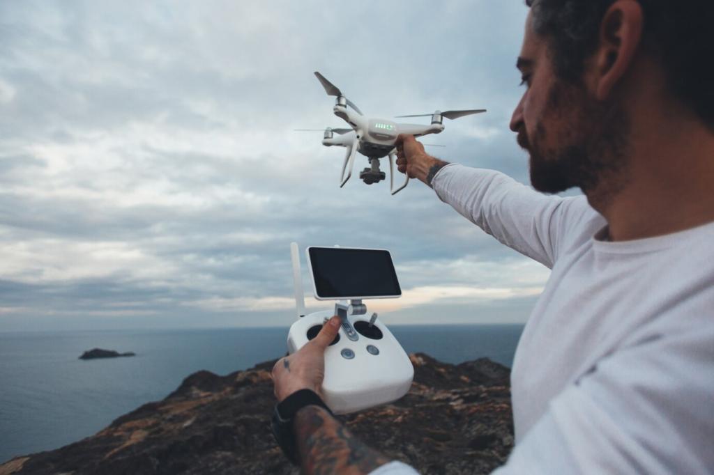
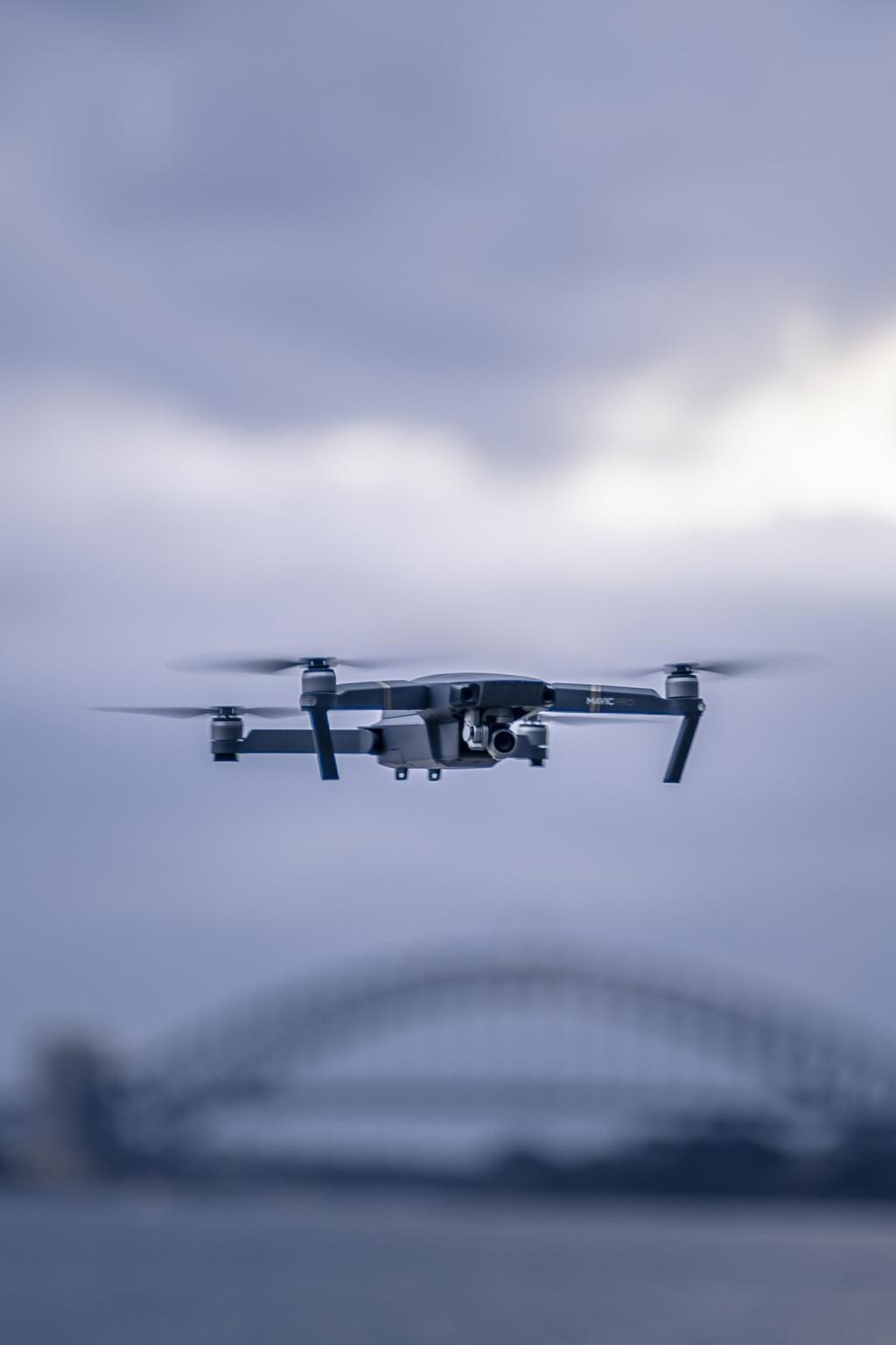

Media and Storytelling: New Angles, Deeper Emotion
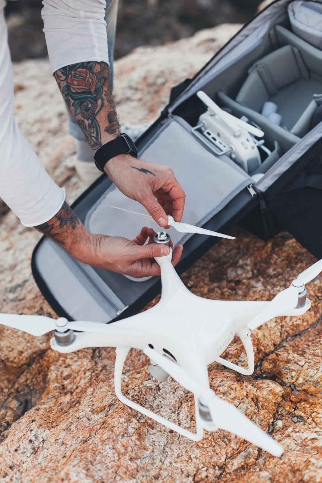
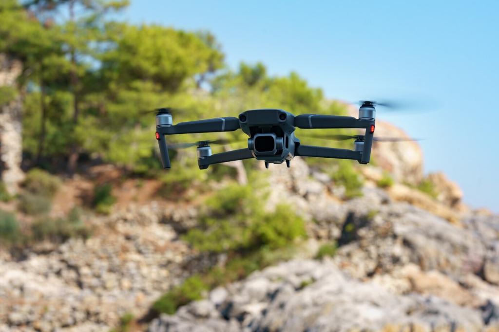
Aerial establishing shots once needed helicopters and big budgets. Now compact drones paint sunrise over city grids, glide between cliffs, and trace choreographed reveals. When piloting complements storytelling, viewers feel the narrative breathe rather than just marvel at technical tricks.
Media and Storytelling: New Angles, Deeper Emotion
Sports producers blend ground cams with safe, geofenced aerial angles that immerse audiences without distracting athletes. Low-latency links and redundant batteries keep coverage smooth. Want breakdowns of your favorite broadcasts? Subscribe and we’ll analyze flight paths and lens choices frame by frame.